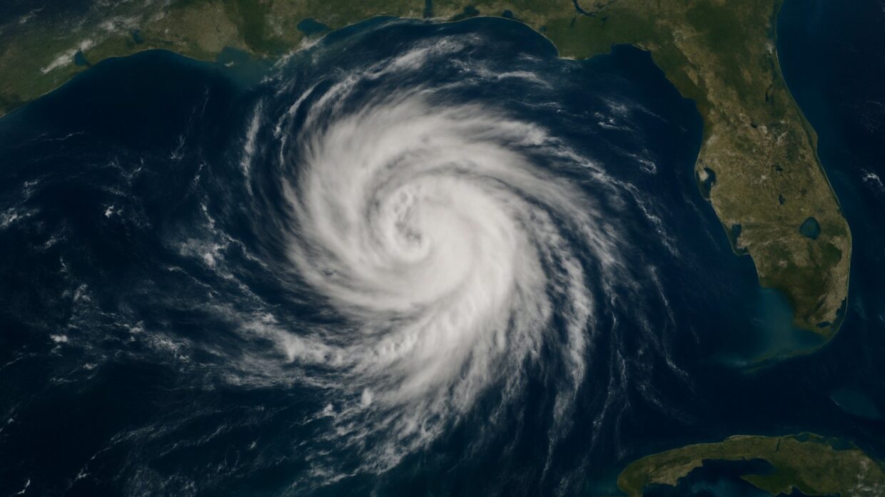
Photo: Well This Is News
Tropical Storm Bertha heads for US Gulf coast as climate-driven Atlantic storms intensify
Weather system develops in Gulf; forecasters track path toward populated areas
Tropical Storm Bertha forms in Gulf of Mexico, drifts toward Florida Panhandle with heavy rain threat
Key Takeaways
- Wind shear is currently disorganizing Bertha and limiting its intensity development, which means the storm's actual power remains uncertain despite media characterization of threat levels.
- Individual tropical storms are inherently ambiguous as climate evidence because attributing a single weather event to systemic climate patterns requires decades of seasonal data, not one storm's behavior.
- The storm's erratic movement pattern and distance from populated areas create a temporal window for protective action before its track uncertainty resolves, yet neither left nor right coverage emphasizes this time advantage for emergency response.
The Analysis
Tropical Storm Bertha formed Monday evening in the Gulf of Mexico approximately 110 miles south of Panama City, Florida, and is forecast to move erratically toward populated coastal areas with a threat of heavy rainfall. The system is currently disorganized, with wind shear limiting its development. This is a straightforward meteorological event that has been filtered through sharply different editorial lenses, each emphasizing different aspects of the same storm.
The meteorological facts are documented: Bertha developed as a tropical system in the Gulf, the National Hurricane Center is tracking its position and trajectory, and forecasters indicate heavy rain is possible for the US Gulf coast. The storm's movement has been described as erratic, suggesting unpredictable path decisions in the near term. Wind shear is documented as a limiting factor on its organization. These are the baseline established facts that none of the sources dispute.
The left framing, represented by The Guardian, emphasizes Bertha within a narrative of climate-driven intensification. The language choice is "intensifying Atlantic storms" and "warming ocean temperatures," which embeds the storm in a broader pattern of climate-influenced weather. This framing is consistent with reporting on ocean heat anomalies and their documented correlation with hurricane intensification. What this framing leaves out is any specificity about Bertha's particular intensity relative to historical storms of similar track and timing, or what portion of Bertha's behavior is attributable to climate signals versus normal seasonal variation. The emphasis on compounding risks serves a narrative function that connects weather events to ongoing climate policy debates.
The right framing, represented by National Review, does not actually cover Tropical Storm Bertha as a primary story. The available sources from the right side focus on Qatar security and Cuba policy. This absence itself is significant. When conservative outlets do cover severe weather, they typically emphasize preparedness, forecasting accuracy, and community resilience rather than causal attribution to climate drivers. The implicit framing in the absence of coverage is that individual storm events are weather, not climate signals, and that forecasting and preparation are the relevant policy questions.
What neither side foregrounds is the gap between storm intensity and forecast confidence. Yale Climate Connections notes that wind shear is limiting organization, which means the storm's future intensity is uncertain. That uncertainty matters for coastal residents and emergency management planning. The current distance from populated areas also allows time for track adjustment, yet neither the left nor right framing emphasizes the temporal window for protective action before uncertainty resolves.
The underlying question is how much individual storm events establish about systemic climate patterns. The left frame assumes Bertha is evidence of a broader shift. The right frame, through omission, treats it as a discrete meteorological event. What the available evidence suggests is that individual storms are inherently ambiguous as climate evidence; only pattern analysis across seasons and decades carries causal weight. Bertha is real and requires response. The interpretive work lies in what it means.
Tropical Storm Bertha's trajectory into the Florida Panhandle will test how state and federal emergency management systems respond to intensifying Atlantic systems. The storm's currently disorganized structure and erratic path mean coastal counties have a compressed window to activate evacuation protocols and position resources before wind shear either dissipates the system or allows rapid consolidation. If Bertha produces the forecast heavy rainfall across populated areas like the Panhandle's industrial corridor and residential zones, local drainage infrastructure will face stress that exposes vulnerabilities in stormwater systems designed around historical rainfall benchmarks. How quickly emergency operations centers convert uncertainty into actionable preparedness decisions during the next 48 hours will establish measurable performance metrics for whether current forecasting windows allow adequate protective action, setting precedent for how future Atlantic systems in this region trigger response protocols.