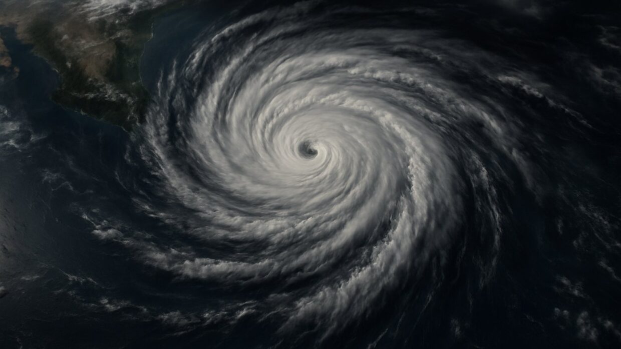
Photo: Well This Is News
Climate change fuels rapid intensification of Category 5 Hurricane Polo near Mexico
Polo Becomes Category 5 Hurricane in Under 24 Hours
Hurricane Polo intensifies to Category 5 in under 24 hours off Mexico's Pacific coast
Key Takeaways
- Category 5 hurricanes occur regularly in the eastern Pacific most years, making Polo's intensity itself unremarkable while its 24-hour intensification speed requires historical comparison data that public reporting has not provided
- The National Hurricane Center's rare advance forecast of Category 5 status while Polo was still a tropical storm suggests either improved predictive modeling or particularly favorable conditions for this specific system, but reporting has not clarified which
- Neither climate-focused nor event-focused coverage explains whether rapid intensification rates have changed measurably over decades or whether El Niño typically accelerates intensification compared to other environmental factors
The Analysis
Hurricane Polo intensified from tropical storm to Category 5 hurricane in fewer than 24 hours with sustained winds of 165 mph, positioned 215 miles south of Zihuatanejo, Mexico. The National Hurricane Center issued a forecast of Category 5 status while the system was still classified as a tropical storm, a rarity in NHC operations that reflects confidence in rapid intensification models. Current projections indicate Polo will remain offshore and is unlikely to make direct landfall on Mexico's coast, though the specific impacts of wind field and storm surge remain subject to forecast shifts.
The Guardian emphasizes the role of "stronger than usual El Niño weather patterns" in fueling Polo's rapid intensification, framing the hurricane as evidence of climate change acceleration. The left-leaning coverage uses the precise phrase "24 hours" and "category 5 monster" to establish the severity and speed of the event, then immediately connects that speed to warming water conditions. What this framing does not foreground is that rapid intensification itself is not new to hurricane meteorology, nor does it clarify how much of Polo's intensification is attributable to El Niño patterns versus the broader warming background state. The emphasis shifts toward climate science as primary explanation without establishing whether this particular storm's intensity would be considered unprecedented in the instrumental record.
Breitbart's coverage focuses on the factual timeline: "Category 5 in under 24 hours," emphasizing speed without connecting it to environmental or climate drivers. The headline and accompanying video format prioritize shock value and visual drama. This framing avoids the climate science question entirely, treating Polo as a discrete meteorological event notable primarily for its rapid development. What this approach leaves out is context about whether such intensification rates have changed over decades or whether they represent normal hurricane behavior. The right-leaning source does not dispute the intensity or speed, only declines to interpret it within a climate framework.
What neither side fully establishes is the distinction between Polo's intensity and its rarity. Category 5 hurricanes occur in the eastern Pacific regularly; the National Hurricane Center issues multiple Category 5 designations most years. What appears unusual in Polo's case is the speed of intensification from tropical storm classification, not the existence of a powerful hurricane. The available reporting does not make clear how Polo's 24-hour intensification rate compares to historical similar storms, nor does it specify which datasets or forecast models informed the NHC's confidence in advance prediction. The El Niño context matters, but neither source explains whether El Niño typically accelerates intensification rates or represents one factor among many. The scientific question is precise; the public reporting remains general.
The underlying story the coverage misses: rapid intensification prediction remains difficult, and the fact that the NHC achieved forecast confidence in this case may reflect either improved modeling or favorable conditions for this specific system. Polo's intensity is real. Its rapid intensification is documented. What remains undisclosed is whether this event demonstrates a shift in intensification patterns due to warming oceans or represents a well-developed hurricane in favorable environmental conditions that would have intensified comparably in earlier decades.
Hurricane Polo's 24-hour intensification to Category 5 exposes a critical gap in how meteorological institutions communicate forecast confidence to the public. The National Hurricane Center issued a Category 5 prediction while Polo remained classified as a tropical storm, a rarity that suggests either breakthrough advances in rapid intensification modeling or a failure to distinguish between routine forecast skill and genuine shifts in storm behavior. If the NHC's confidence reflects improved predictive capacity, the model's accuracy rate becomes immediately relevant to evacuation planning and resource allocation along Mexican coasts, yet neither climate-focused nor event-focused coverage disclosed which datasets informed the prediction. If instead Polo simply developed under favorable conditions that occur regularly, the advance forecast signals potential false confidence in future predictions when conditions differ. The institutional question matters beyond this storm: does the NHC's revised forecasting approach systematically over-estimate intensification risk, thereby degrading the signal-to-noise ratio for coastal communities preparing