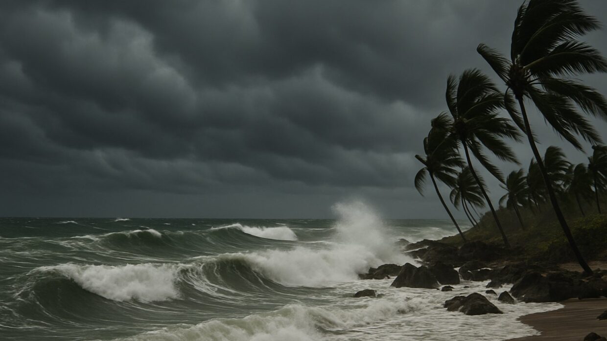
Photo: Well This Is News
Powerful Hurricane Simon nears Mexico with catastrophic flooding fears as climate intensifies storms
Hurricane Simon approaches Mexico’s Pacific coast with 155 mph winds; tropical storm Rachel also expected
Hurricane Simon approaches Mexico's Pacific coast with 155 mph winds; tropical storm Rachel also expected
Key Takeaways
- The published record lacks specific ocean temperature data, historical storm intensity comparisons, and peer-reviewed analysis directly linking Hurricane Simon's particular strength to climate change, even though climate framing outlets present the connection as established.
- Climate-focused outlets and general-interest news outlets frame the same storm through fundamentally different editorial lenses,one linking it to systemic change patterns, the other treating it as an acute immediate hazard,training readers in different interpretive habits.
- The compounding rainfall risk from two simultaneous systems across Mexico and into the U.S. Southwest is a concrete hydrological consequence that merits editorial priority regardless of attribution to climate change.
The Analysis
Hurricane Simon is making landfall on Mexico's Pacific coast as a Category 4 system with 155 mph sustained winds, while Tropical Storm Rachel simultaneously approaches Baja California. What neither the NPR reporting nor the Yale Climate Connections framing makes explicit is the difference between reporting on an immediate weather threat and attributing its intensity to systemic climate change, a distinction that shapes both how readers understand what is happening and what questions they are prompted to ask about causation.
The documented facts: NPR reports Simon has 155 mph winds and is expected to move inland early Sunday near Puerto Vallarta. Yale Climate Connections confirms the simultaneous dual-landfall scenario and notes that Rachel will carry moisture into the U.S. Southwest. Both sources position these as discrete weather events requiring immediate emergency response. Neither the NPR piece nor the Yale article specifies water temperature anomalies, ocean heat content measurements, or peer-reviewed climate data that would directly connect this particular storm's intensity to warming trends.
NPR's framing emphasizes the immediate threat: "155 mph winds" and "flooding fears" front-load the hazard and the human consequence. The language is meteorologically factual but does not engage the question of whether this storm's intensity reflects broader atmospheric conditions. This is not false reporting. It is scope-bounded reporting. An article titled "Hurricane Simon nears Mexico with 155 mph winds and flooding fears" is not obligated to address climate science. But that framing choice means readers learn what to prepare for, not whether preparation standards should change based on changing storm patterns.
Yale Climate Connections' framing introduces a different narrative architecture. The URL itself contains the phrase "climate connections," signaling that climate dynamics are the editorial lens. The story places Simon and Rachel in a context of warming-driven intensification. The difference is subtle but structural: Yale's framing invites the reader to connect this storm to patterns, while NPR's framing presents this storm as its own event.
What neither source fully establishes is the methodological boundary: the difference between showing that ocean temperatures have risen and proving that this particular storm is stronger than it would have been under historical climate conditions. That distinction matters because it separates documented fact from causal inference. The available reporting does not provide the specific ocean temperature data for the Eastern Pacific in October 2026, historical storm intensity comparisons, or peer-reviewed analysis linking Simon's power to anthropogenic climate change. That absence does not mean the connection is false. It means the public record as presented does not yet establish the causal claim with the specificity that the framing suggests.
The institutional implication is that climate-focused outlets are increasingly framing severe weather through a climate lens as a matter of editorial mission, while general-interest outlets frame it through an immediate hazard lens as a matter of news priority. Neither approach is inaccurate. But they train readers in different interpretive habits: one to see weather as potentially connected to systemic change, the other to see weather as an acute event requiring response.
What the dual-landfall scenario actually signals is the compounding of rainfall risk across Mexican territory and into the Southwest U.S., a hydrological consequence independent of climate attribution questions. That is what warrants editorial priority.
Mexico's simultaneous dual-hurricane threat poses a compounding rainfall problem that transcends the attribution debate between weather-focused and climate-focused outlets. When two systems make near-concurrent landfalls, the hydrological consequence is not simply additive but multiplicative: Rachel's moisture-laden remnants will collide with Simon's inland precipitation over Mexican terrain already saturated by the first system, creating flash-flood conditions across a broader geographic zone than either storm would produce independently. This outcome reshapes disaster preparation protocols for both Mexican civil defense agencies and southwestern U.S. water management authorities, who must now coordinate response across two nations simultaneously rather than sequencing reactions to sequential storms. The institutional shift is immediate and concrete: emergency management frameworks built around single-storm scenarios become inadequate when compounding atmospheric systems demand synchronized evacuation, reservoir management, and cross-border resource allocation within a 48-hour window. Whether climate change intensified Simon's winds or Rachel's moisture content matters