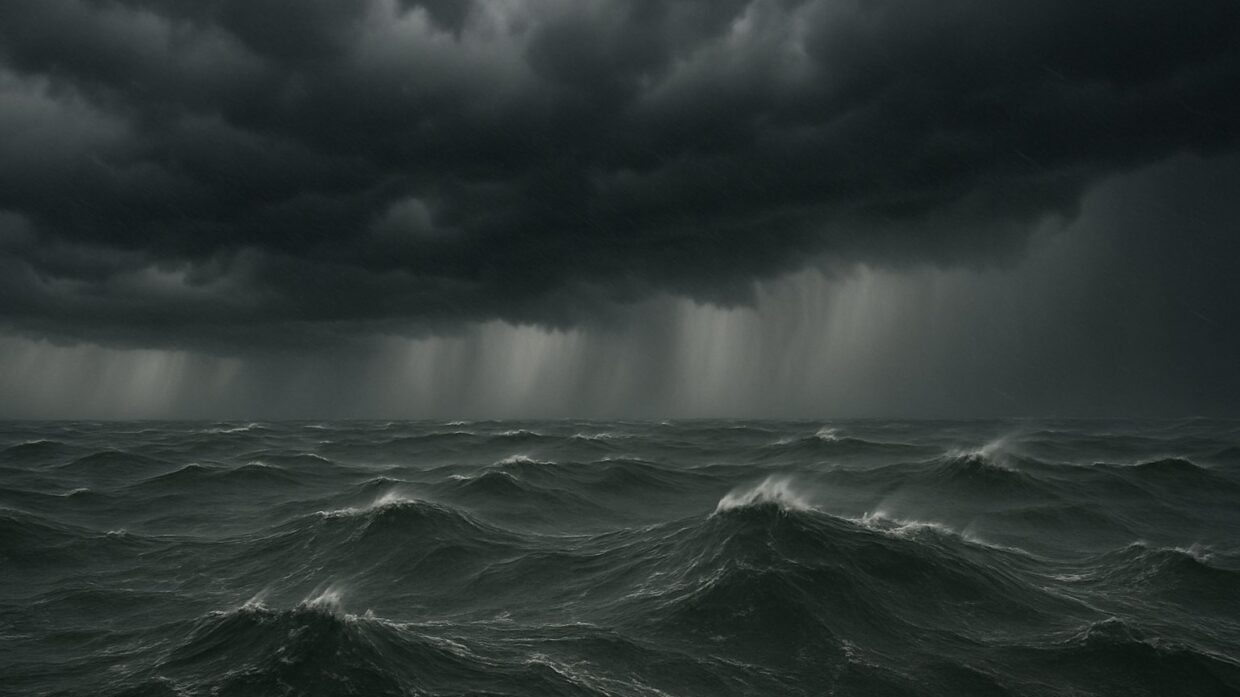
Photo: Well This Is News
Record-warm Gulf waters fuel rapid intensification of Hurricane Isaias
Millions Brace as Tropical Storm Isaias Expected to Develop into Strong Hurricane
Hurricane Isaias forecast to strike Gulf Coast Friday as strengthening tropical system
Key Takeaways
- Scientists cannot establish whether Isaias intensifies because of climate-driven baseline temperature shifts or because seasonal warm water patterns simply coincide with this storm's timing.
- Readers who follow only left sources learn why the storm formed late but not when to evacuate or where danger zones are located.
- Neither frame explains the mechanism linking warm water to this specific storm's behavior, leaving a gap between climate data and operational hurricane forecasting.
The Analysis
Hurricane Isaias presents a rare reporting tension: the left frame emphasizes climate context that the right frame omits, while the right frame emphasizes the immediate threat that the left frame subordinates to broader interpretation. Neither approach is false, but each serves a different framing function.
The National Hurricane Center has issued a forecast for Isaias to intensify from tropical depression to hurricane-strength storm before Friday evening landfall on the U.S. Gulf Coast. Yale Climate Connections reported that Isaias will become the season's first hurricane by early Thursday, marking the latest first-forming Atlantic hurricane in reliable records by a wide margin. The Investing.com report places landfall as early Saturday morning. The core meteorological facts are consistent across sources: rapid intensification, Friday or Saturday arrival, Gulf Coast impact zone.
Yale Climate Connections frames the story around a specific climate datum: Isaias is intensifying over record-breaking warm Gulf waters. The language chosen is "record-breaking warm waters of the western Gulf of Mexico" and the headline emphasizes "odds of a U.S. Gulf Coast hurricane landfall are rising." This framing connects the storm's unusual timing and intensity to water temperature anomalies. What this framing leaves out is any discussion of preparedness, evacuation procedures, or immediate safety measures. The climate connection becomes the story; storm response becomes secondary.
Breitbart frames the story around preparation and scale. The language chosen is "Millions Brace" and "Strong Hurricane," with emphasis on the National Hurricane Center's forecast. The headline leads with the human response (bracing) rather than the scientific explanation. What this framing leaves out is any mention of the unusually warm water conditions or the climate context for rapid intensification. The storm exists as a discrete weather event requiring evacuation and preparation, not as a consequence of changing ocean conditions.
What neither side fully captures is the specific tension between two legitimate public interests. Climate scientists and environmental communicators emphasize the water temperature data because it illustrates how shifting baseline conditions alter storm behavior. Emergency management officials and media outlets covering preparedness emphasize forecast confidence and action because people need to know whether to leave their homes. Both frames are accurate; they simply answer different questions.
The public record does not establish whether Isaias's rapid intensification occurs because climate change has raised baseline Gulf temperatures, or because seasonal variation and existing warm water patterns happen to coincide with this storm's development window. Yale's framing implies causation through proximity and data emphasis; it does not establish causation through mechanism. Breitbart's framing avoids the causal question entirely by staying in the forecast domain.
What makes this significant is that both frames are incomplete without the other. Readers of Breitbart alone will prepare for a hurricane but not understand why this storm formed so late in a season when the first hurricane typically arrives by July. Readers of Yale alone will grasp climate context but lack concrete information about evacuation zones, timing, or immediate action steps. The most honest version of this story requires both: Isaias is a hurricane that will strike the Gulf Coast Friday or Saturday, and it is intensifying rapidly in water temperatures that are anomalously warm compared to historical baselines.
Hurricane Isaias will force coastal evacuation decisions within 48 hours, but the public receiving only preparedness-focused reporting will miss why this storm intensifies so late in the season. Communities bracing for impact need both immediate guidance and the underlying context that record Gulf water temperatures are becoming normal conditions for hurricane formation. When emergency managers plan for next season, they will reference this storm's intensity as a data point for revised threat assessments. That institutional recalibration depends on citizens understanding whether late-forming major hurricanes are becoming climatological expectation rather than meteorological anomaly. Incomplete framing today shapes inadequate preparation tomorrow.